
Short walks
The Goldfields Track travels through incredible terrain – bushland, creeks, mountains and open farmland and it’s all available in short-form!
Sometimes there’s not enough time to do a long walk. If you’re keen to get out on a loop stroll or to explore a new area, try one the short walks below linked to the Goldfields Track.
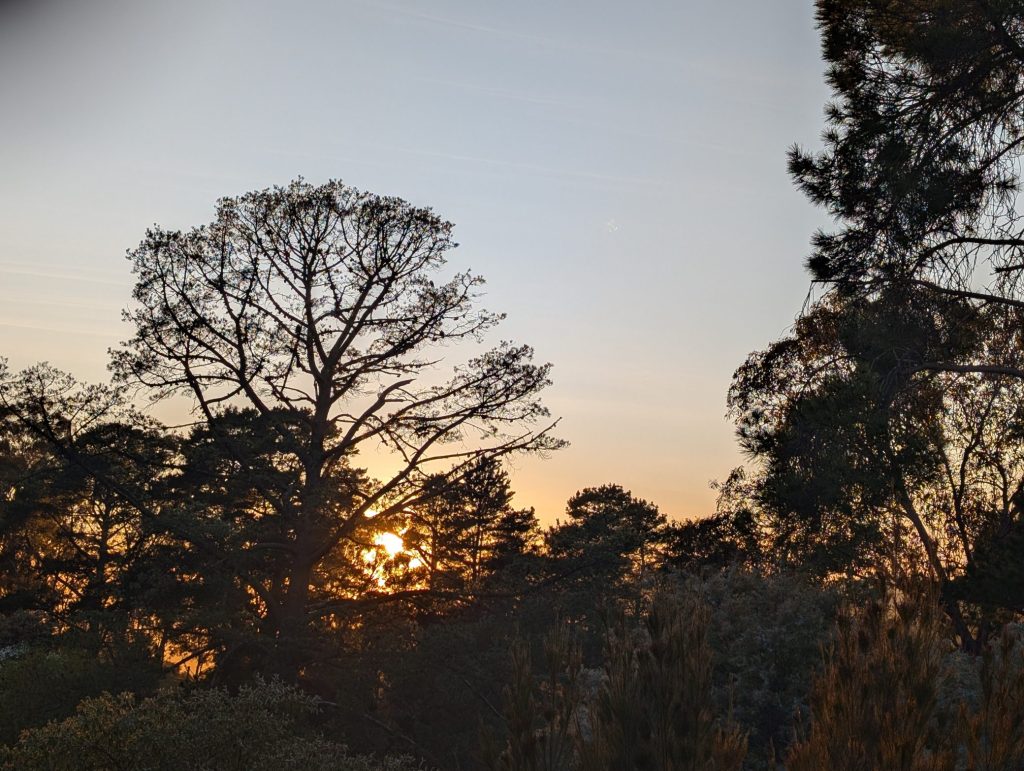
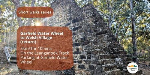
Garfield Water Wheel to Welsh Village (return)
- 5km (approx)
- 1.5hr
- Map reference
- Family friendly
The Garfield Water Wheel on the Leanganook Track is an amazing gold rush relic built in 1887. All the iron elements of the wheel were manufactured locally, by Thompson & Co., a company that went on to be one of Victoria’s foremost engineering works. The wheel towered 21.4m high, with 220 galvanised-iron buckets, which completed a revolution every 45 to 55 seconds, depending on the flow of water. The water came from the Coliban Water Supply system, via a channel from Expedition Pass Reservoir. Further along the walk are ruins and slate quarries of Welsh Village, an abandoned gold rush settlement that developed around the Nimrod Reef Mine, which operated from 1854 to the early 1900s.
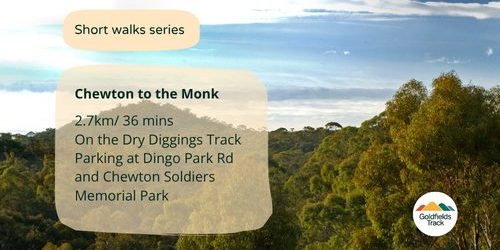
Chewton to the Monk
- 2.7km (approx)
- 35mins
- Map reference
- Family friendly
From Chewton, walk through the bush of the Castlemaine Diggings National Heritage Park, and follow the Goldfields Track posts along the water race to a turn off for the Monk. Follow Jacobs Track for the 200m summit to the top of the Monk. The hill was named ‘the Monk’ during the 1850s gold rush. It referred to a conical hill – a landform shaped like a cone. It was promoted as a scenic lookout offering a view of the surrounding gold rush. Just below the Monk, to the west, is the quartz mining centre of Eureka Reef. In 1858 the Eureka scene resembled a small manufacturing town with steam engines, tall white smoke stacks, and substantial homes. However, only five years later, it had disappeared and was described as ‘the wreck of Eureka’ – deserted cottages, broken and idle machinery and abandoned mining shafts.
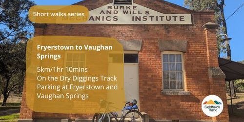
Fryerstown to Vaughan Springs
- 5km (approx)
- 1.5hr* (one way)
- Map reference
- Difficult
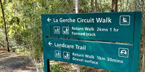
La Gerche Circuit walk
- 2km (approx)
- 1.5hr*
- Map reference
- Family friendly
A historic nursery
The wooden sculpture of pioneer forester John La Gerche signals the start of the 2km long, heritage-listed La Gerche Trail winding through a wide diversity of conifers and an extensive oak gully, established 138yrs ago as a state nursery for rehabilitating the mined moonscape.
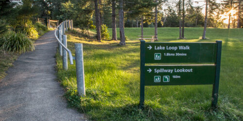
St Georges Lake loop walk
- 1.8km (approx)
- 1hr*
- Map reference
- Family friendly
A mining water supply
Walk around the scenic St Georges Lake – a government-built mining dam to provide sluice water to mining operations nearby. Once called Govvy Dam, its name was changed in the 1950s to St Georges Lake. Look out for birds that frequent the area.
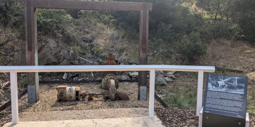
Twin Bridges to Tipperary Springs
- 2.3km (approx)
- 1.5hr* (one way)
- Map reference
- Difficult
Follow historic water races
Begin at either Twin Bridges or Tipperary Springs and follow old water races from the mining era and Sailors Creek, choose from walking tracks on both sides of Sailors Creek or combine both sides to create a return journey.
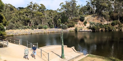
Daylesford Circuit walk
- 7km (approx)
- 2.5hr*
- Map reference
- Difficult
Two lakes walk
This walk takes in two lakes and is about 9km long. It starts at the skate park and then follow the blue-topped Great Dividing Trail Association posts as far as Jubilee Lake. For more visit the Great Dividing Trail website.
Castlemaine Circuit walk
- 10.5km (approx)
- 3hr*
- Map reference
- Difficult
A slice of history
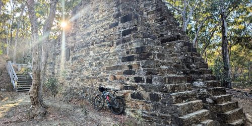
About 10.5km in length, this easy-going walk takes in three cultural features, two of which are on the Goldfields Track, with the other one nearby. You will visit the foundations of the Garfield Water Wheel and get a close look at the ruins and abandoned slate quarries of the Welsh Village. The circuit also leads you to the dam wall of the Expedition Pass Reservoir. For more visit the Great Dividing Trail website.
Bendigo Circuit walk
- 7km (approx)
- 2.5hr*
- Map reference
- Family friendly
Gully walk
This connects two trails – the Goldfields Track and the Bendigo Bushland trail. It is long enough to be a bike ride as well as a walk. You can find the Goldfields Track section on Maps 33 and 34 for the Leanganook Track in the Goldfields Track Walk or Ride Guide. Or for more, visit the Great Dividing Trail website.