Leanganook Track (Ride)
Ride the Leanganook Track
- 61km (approx)
- 5-6 hours*
Bendigo to Castlemaine (61km)
Leanganook (“Liyanganyuk”) is the Aboriginal name for the 746m high Mount Alexander overlooking Castlemaine. There are spectacular views from designated lookouts.
The Leanganook Track can be broken into four smaller walks, or combined to create a three-four day hike. See more information in the sections below.
* Times are based on walkers with a reasonable level of fitness and experience. Walking times are based on approximately 4km/hr.
The best way to understand the track conditions and attractions is to purchase and use the Golfields Track Walk or Ride Guide (second edition). You can buy a copy here.
Bendigo Goldfields ride
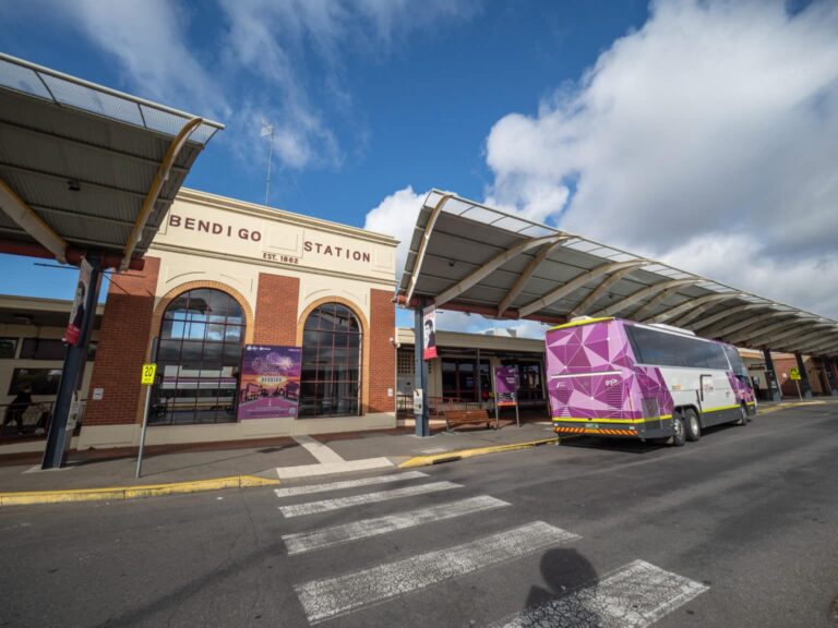
Bendigo Railway Station to Sandhurst Reservoir (13km)
Where Castlemaine’s fortune lay in surface alluvial gold and Ballarat mined alluvial gold in underground rivers, Bendigo’s wealth was held fast in the parent ore body – a vast, subterranean network of quartz reefs, many of which underlie the city’s imposing civic buildings. From the reservoir, you walk through a regrowth box-ironbark forest, originally devastated by mining. In 2002, five national parks were created to conserve this forest type.
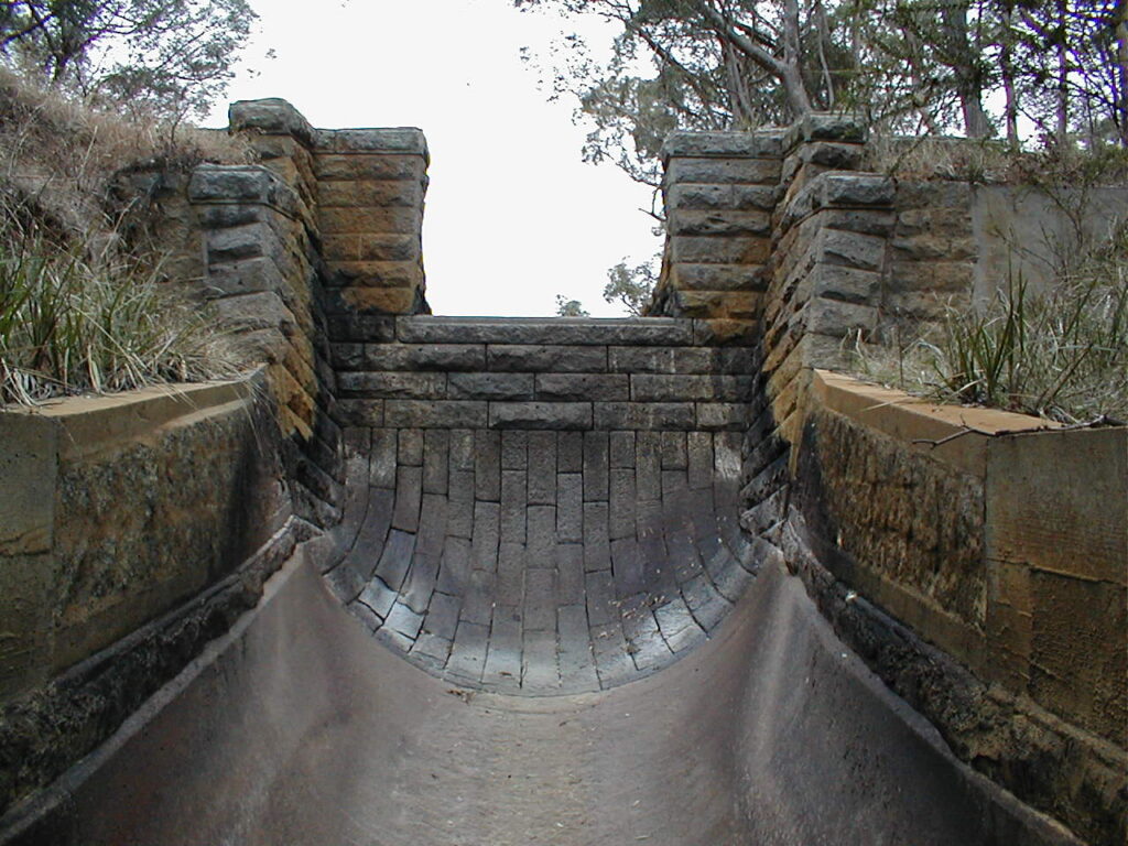
Coliban Main Channel ride
Sandhurst Reservoir to Sutton Grange Road (19.9km)
The historic Coliban Water Main Channel was constructed in the 1870s. This heritage-protected and still operating community asset, is an engineering gem punctuated by artificial bluestone waterfalls to energy ‘dissipators’ and arched tunnels.
Civil engineer, Joseph Brady, won a competition for his proposal to bring permanent water to Bendigo all the way from the Great Dividing Range, some 70km away. His scheme involved diverting the Coliban River, south of Malmsbury, to serve Bendigo via an ingenious system of gravity-fed channels and aqueducts. The government remained uncommitted to the scheme until the onset of the worst-ever recorded drought in 1865 emptied Bendigo’s only reservoir, halting mining at Bendigo and reducing the flow of gold into Treasury’s coffers to a trickle.
There are spectacular views from the track when cresting the climbs over the hand-built tunnel sections, but please make sure you respect the neighbouring landowners and their property and stay on the track.
For more information visit the Coliban Water region and history page.
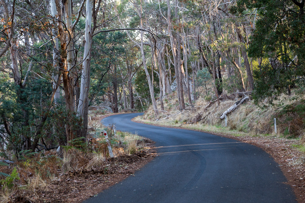
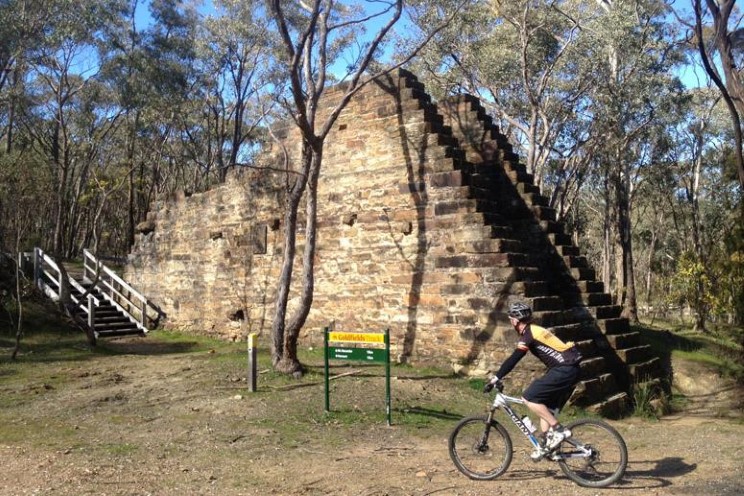
Leanganook ride
Sutton Grange Road to Specimen Gully Road junction (15.1km)
The Mount Alexander range forms the boundary between two Aboriginal nations, the Duang wurrung and the Dja dja wurrung. It is not difficult to envisage the imposing granite tors topping Leanganook’s long summit as an ideal setting for initiations. After the Europeans arrived, Leanganook became a base camp for attacks on settlers and their sheep during the late 1830s and early 40s.
Heritage Park ride
Specimen Gully Road junction to Castlemaine (12.6km)
Few Australian or international gold rush landscapes can match the extent and diversity of the Castlemaine Diggings. Castlemaine Diggings National Heritage Park was the location for the Mount Alexander gold rush of 1851-52. The Park provides exceptional testimony to the early-rush individual ‘miner adventurer’. It eloquently captures the human gold rush spirit in material form. Diggers’ small claims, across the goldfields in gullies and flats, surrounded by regenerating Box-Ironbark forest, yielded the greatest concentration of shallow gold the world had ever known; a catalyst for spontaneous rushes by large populations.
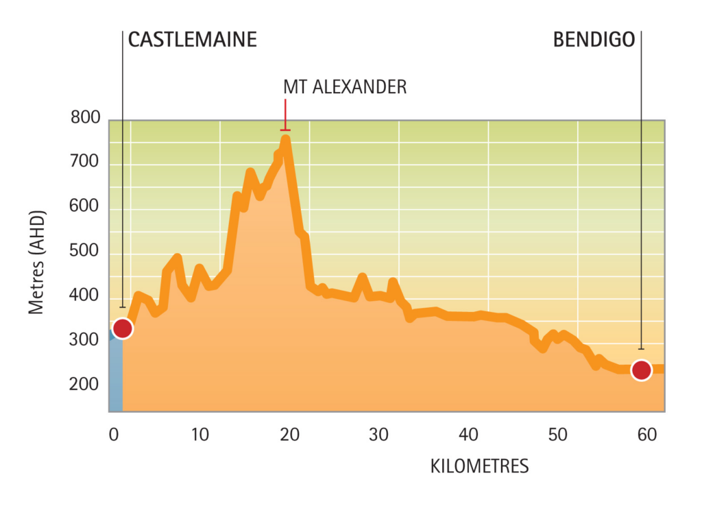
Elevation
As you can see from the elevation map below, there are some climbs and descents to tackle, so riders and walkers alike will need to be reasonably fit and skilled.