Dry Diggings Track (Walk)
Walk the Dry Diggings Track
- 58km (approx)
- over 4 shortish days*
Castlemaine to Daylesford (58km)
Australia’s first National Heritage Park, the Castlemaine Diggings National Heritage Park was created in 2002 in recognition of the region’s intimate association with the Victorian gold rush era.
The Dry Diggings Track can be broken into four smaller walks, or combined to create a three-four day hike.
*Time is based on walkers with a reasonable level of fitness and experience. Walking times are based on approximately 4km/hr.
The best way to understand the track conditions and attractions is to purchase and use the Goldfields Track Walk or Ride Guide (second edition). You can buy a copy here.
'Cry Joe' walk
Castlemaine to Vaughan Springs (19.5km)
From 1851, mining gold without a licence was illegal. When troopers were on the war path, the diggers’ warned of their approach by the rowdy cy of “Joe, Joe, Joe!”
Golden Mountain walk
Vaughan Springs to Porcupine Ridge Road (11.4km)
Vaughan was an epicentre for Chinese miners, who came in their thousands to try their luck at what they called the Dja Gum Sum or Golden Mountain. The largest Chinese mining camp in Victoria was at nearby Guilford, reportedly supporting two circuses.
Mount Franklin View walk
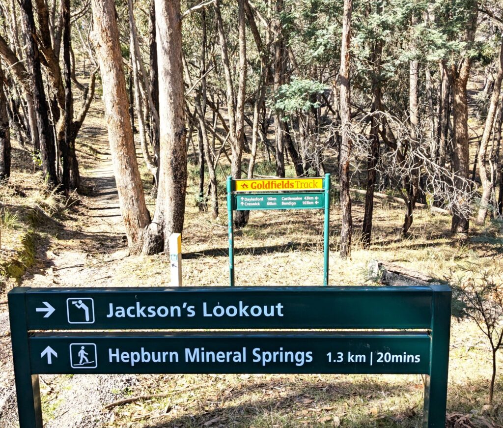
Porcupine Ridge Road to Hepburn Springs Reserve (14.7km)
Captain John Hepburn was the first in a wave of squatters who from 1838 were to dispossess the Indigenous Dja dja wurrung people. During the 1840s, they found official refuge for almost 10 years in Victoria’s first Aboriginal Protectorate at Franklinford, to the south of Mount Franklin. The region’s best known volcano, Mount Franklin has a breached crater formed half a million years ago. You can view it from the track, but you will need to make a side trip west along the Midland Highway to camp on its crater floor.
Tipperary walk
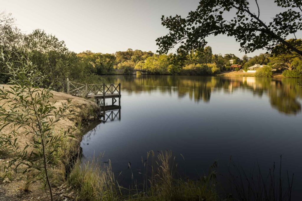
Womans Gully to Lake Daylesford (14.2km)
This pleasant narrow walkers-only track hugs the contours of creek valleys, through changing foothill forest, hidden away from housing upslope. It follows the Tipperary Springs Walking Track to the track junction with the bike track in Womans Gully.
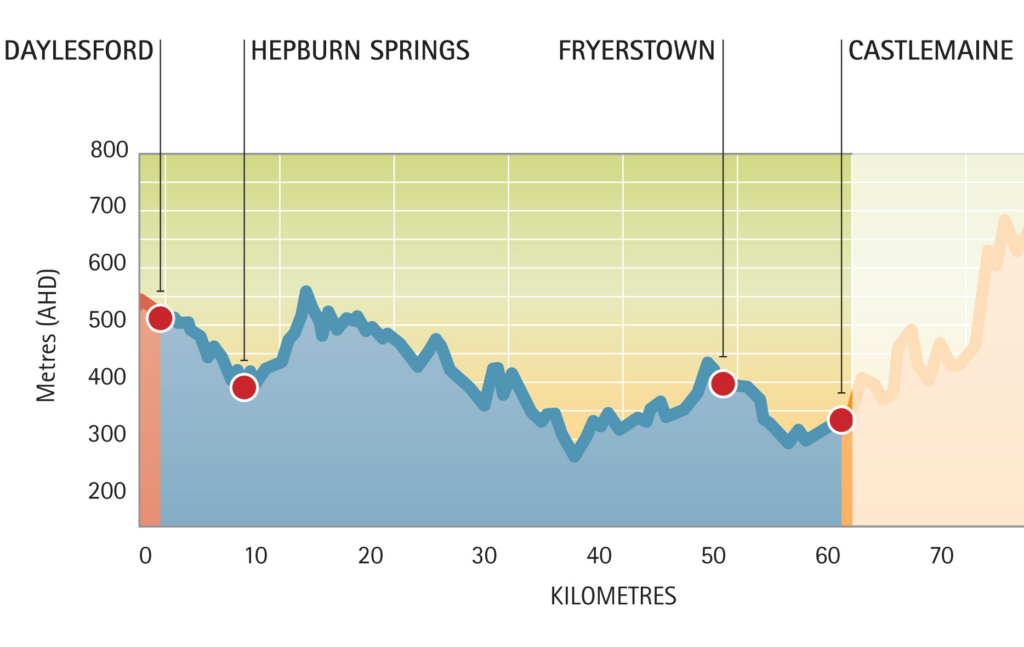
Elevation
The Dry Diggings Track will test your fitness with some challenging climbs and descents